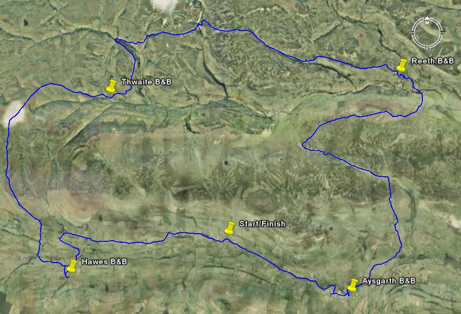
 |
In order to vew photos in Google Earth you need to enable (tick) Panoramio in the Geographic Web layer. I have uploaded aournd 75 of my photos and there are mnay more from other people. The positions of photos appear as blue dots but you will need to zoom in to 8000ft (2500m) or lower to see all of mine. |
<<Back Next>>